The City of El Paso and Recreation Department has more than 220 parks located throughout the city. Most of these parks have a paved pathway within the park which can be used for walking, jogging, rollerblading and bicycling.
El Paso boasts a variety of hiking options, featuring diverse terrain, distances, and difficulty levels to suit all outdoor enthusiasts.
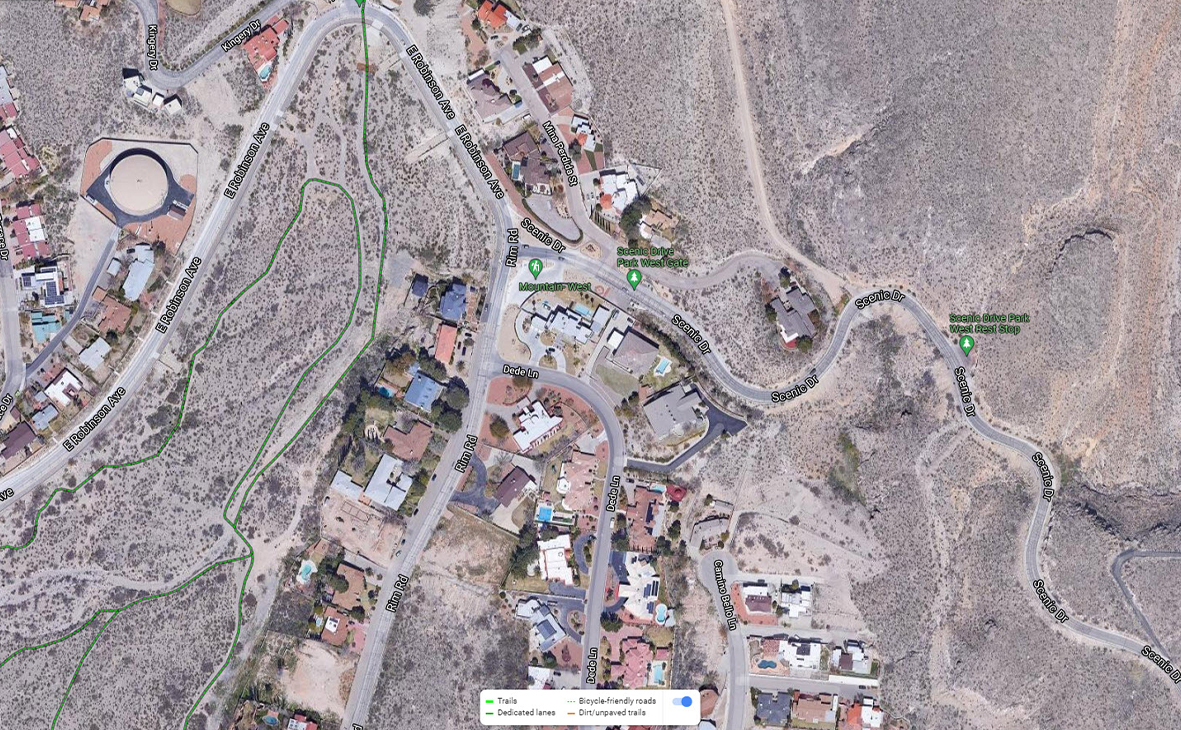
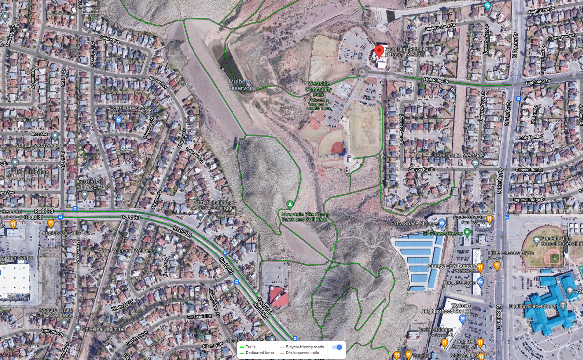
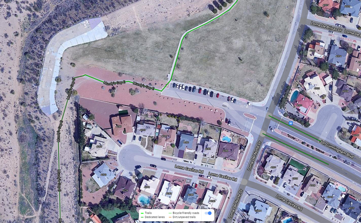
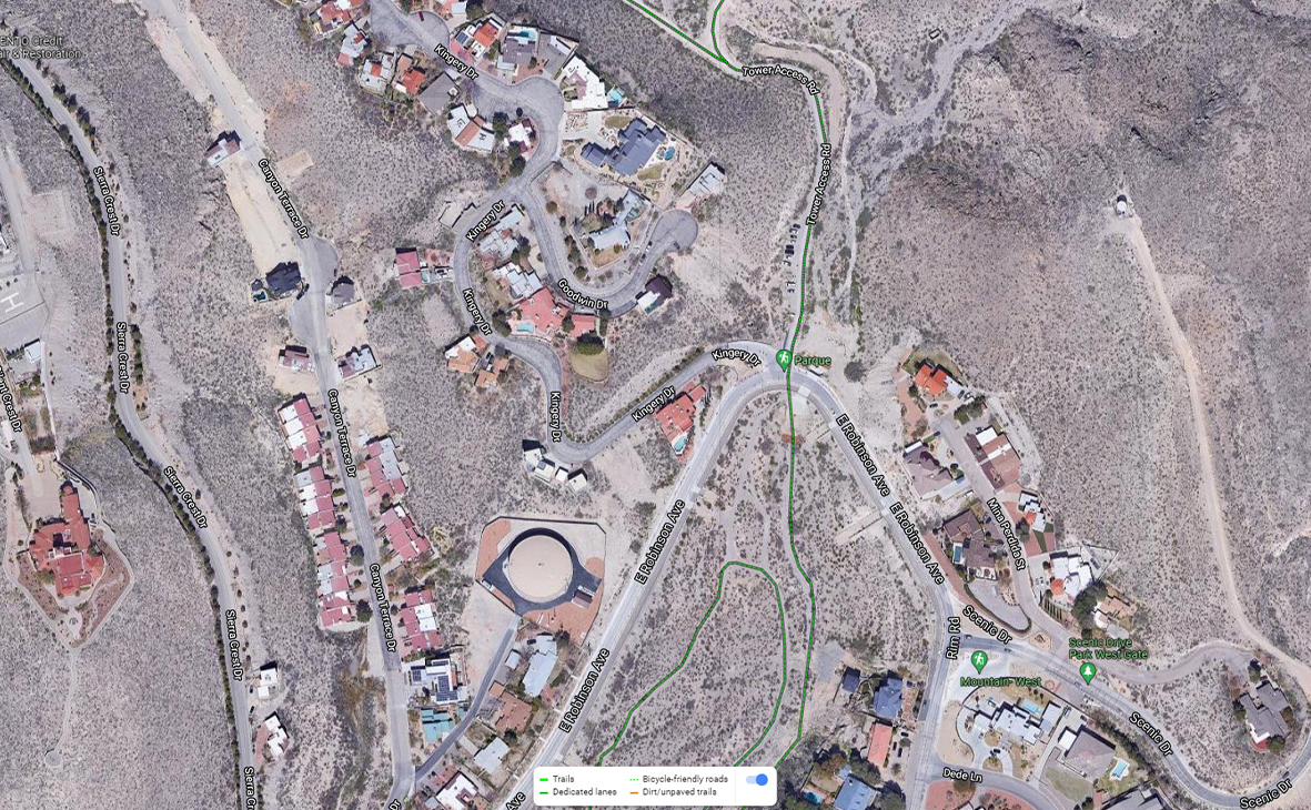
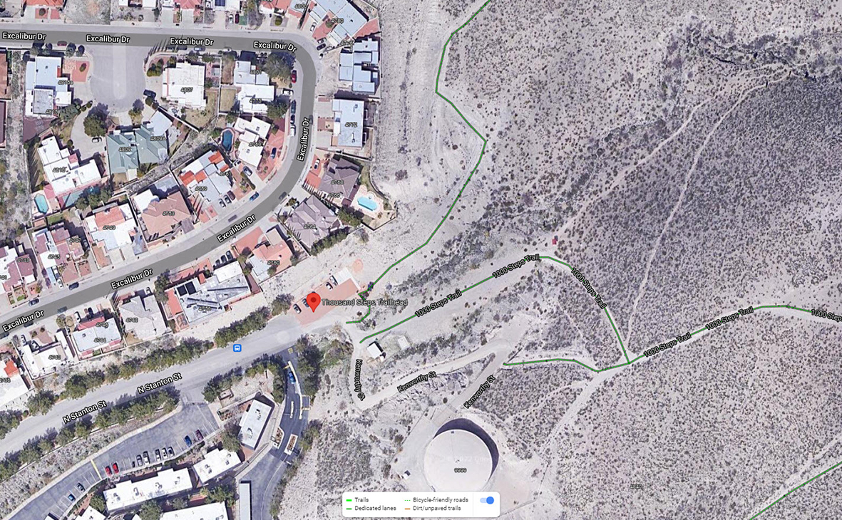
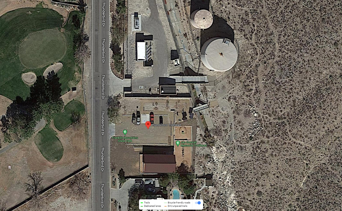
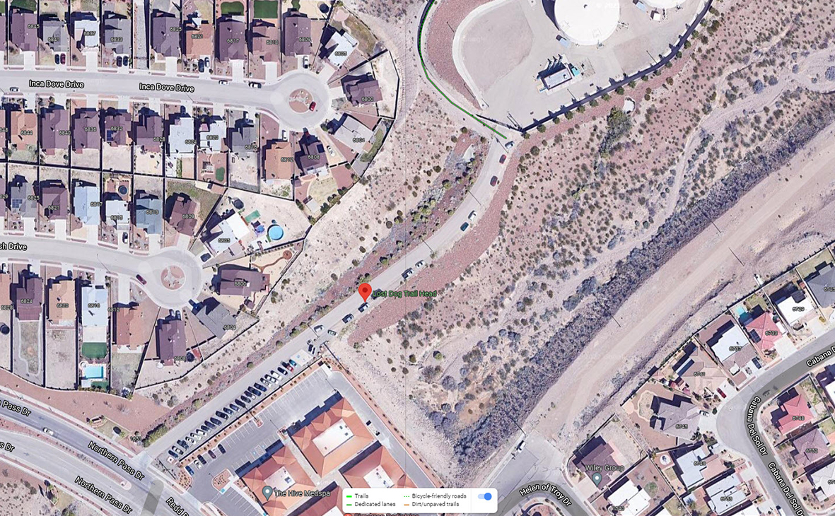
Natural Trails: El Paso offers a collection of natural surface trails, developed in collaboration with key partners such as Franklin Mountain State Park (FMSP) and the Frontera Land Alliance, providing the perfect backdrop for exploration. The trails listed below are linear and do not loop within a park (with the exception of Three Hills Trail).
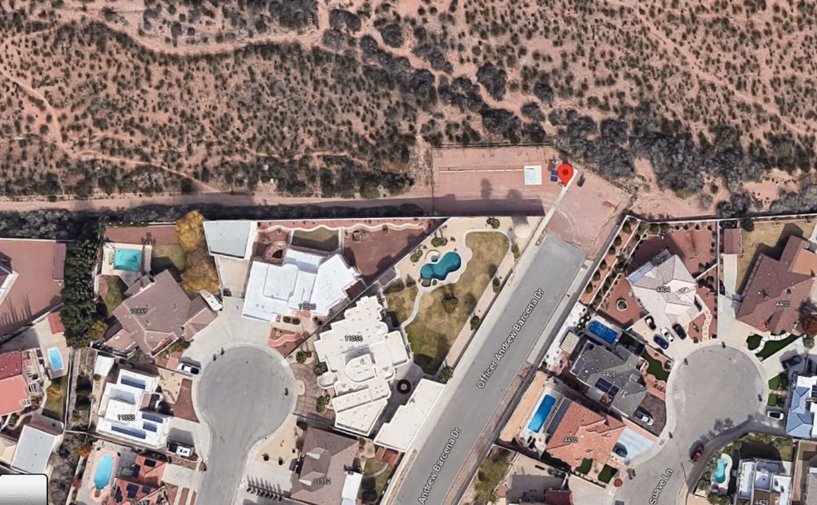
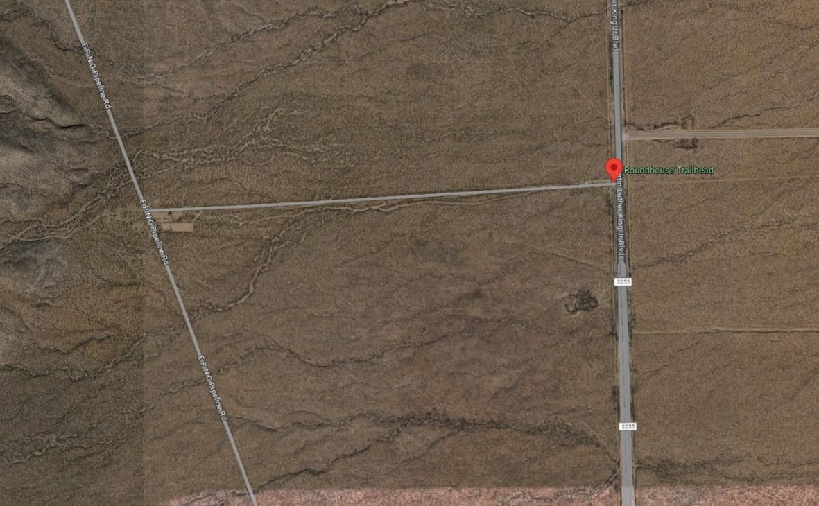
Trailheads: Serve as convenient access points to the expansive network of trails within Franklin Mountain State Park (FMSP). The City of El Paso Parks and Recreation Department encourages all trail users to familiarize themselves with the rules and regulations of FMSP to ensure a safe and enjoyable hiking experience.
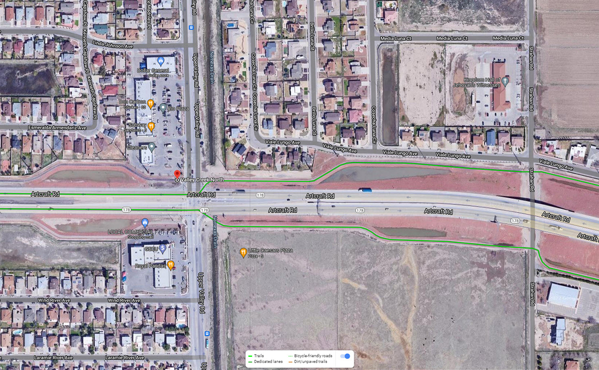
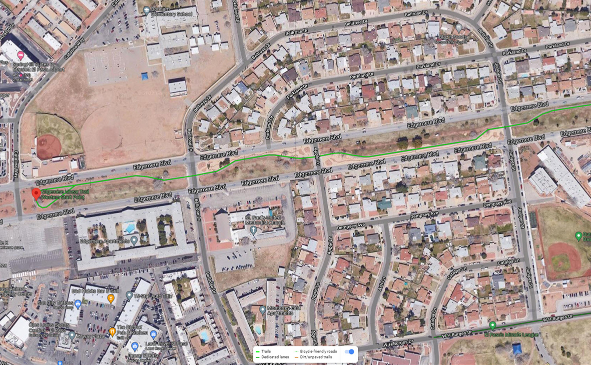
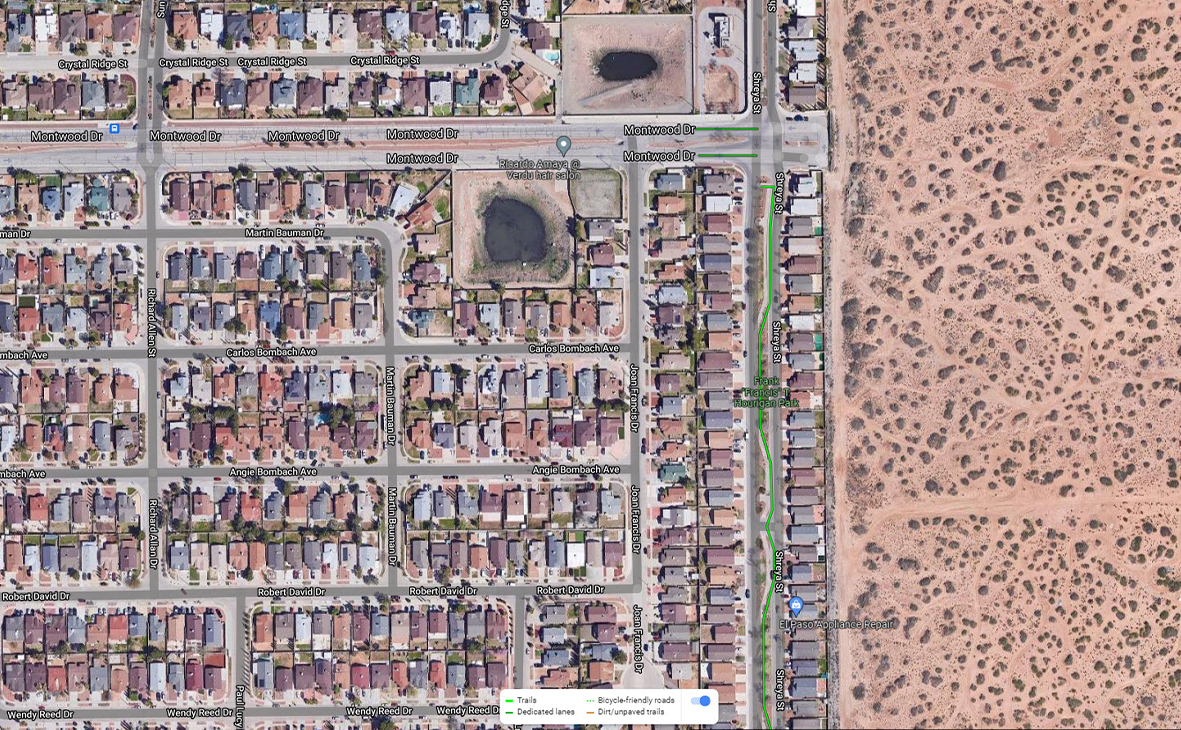
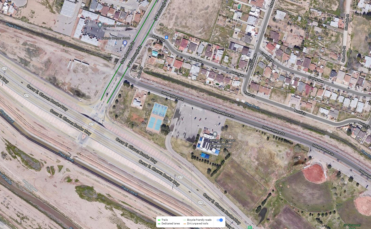
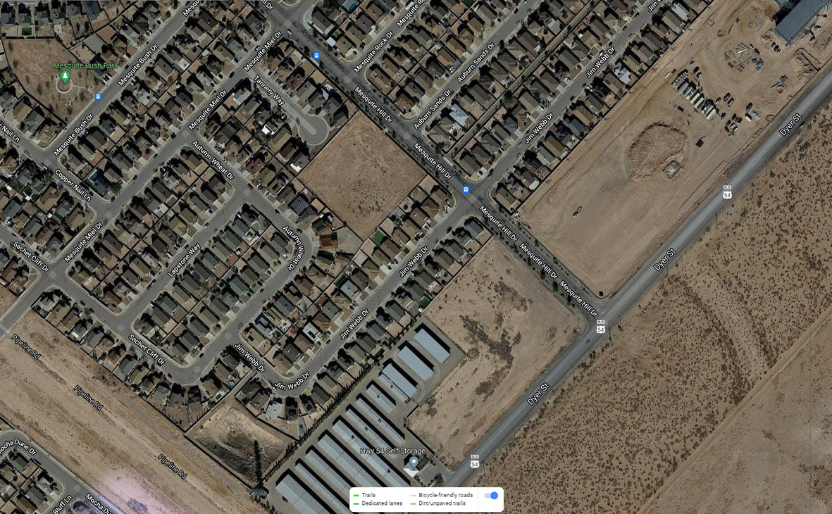
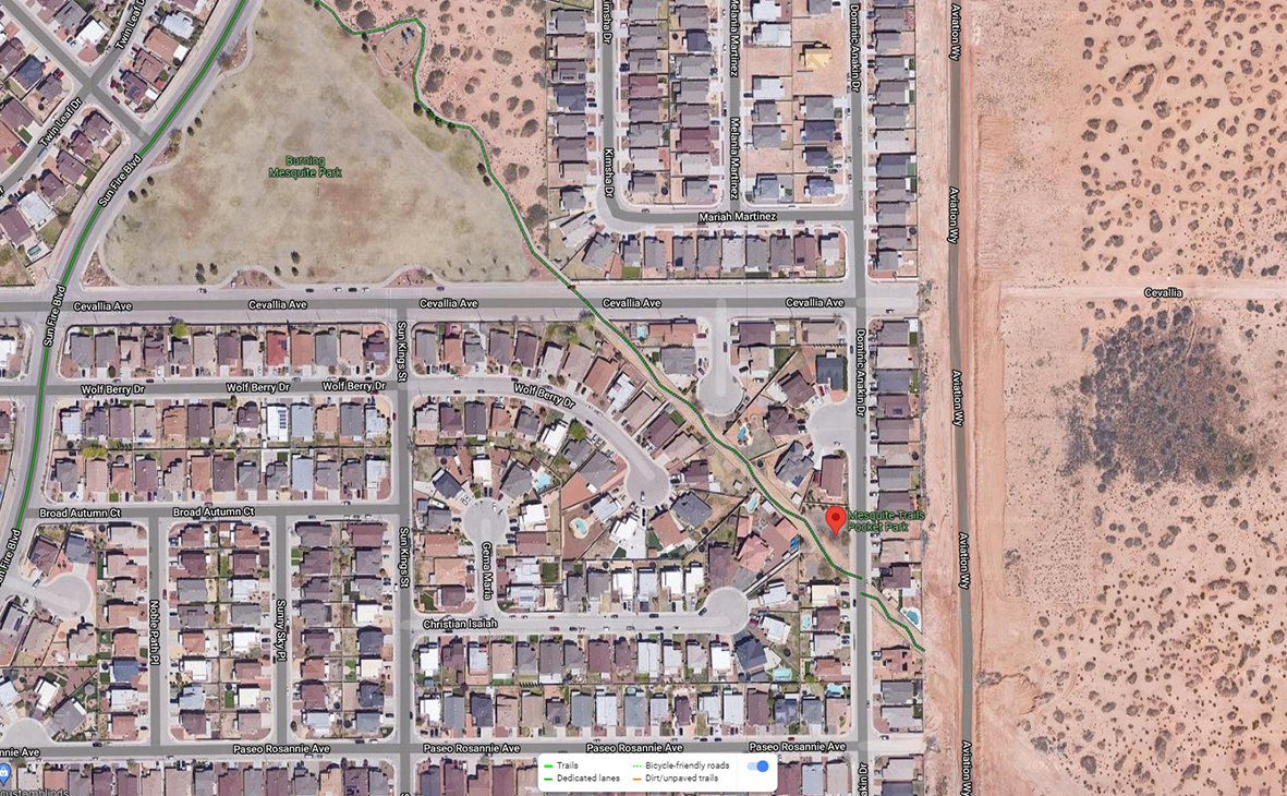
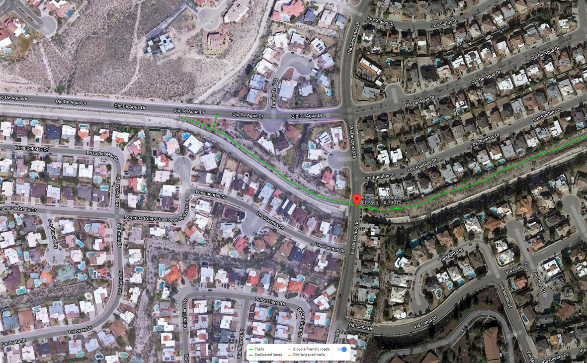
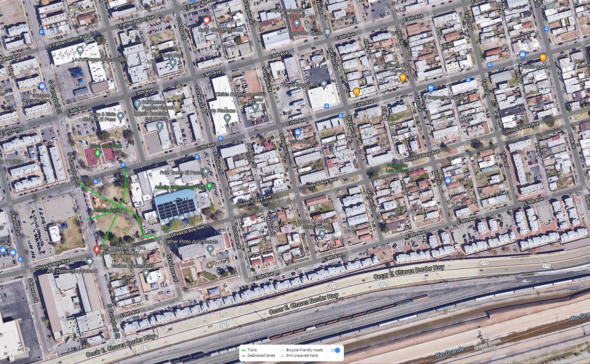
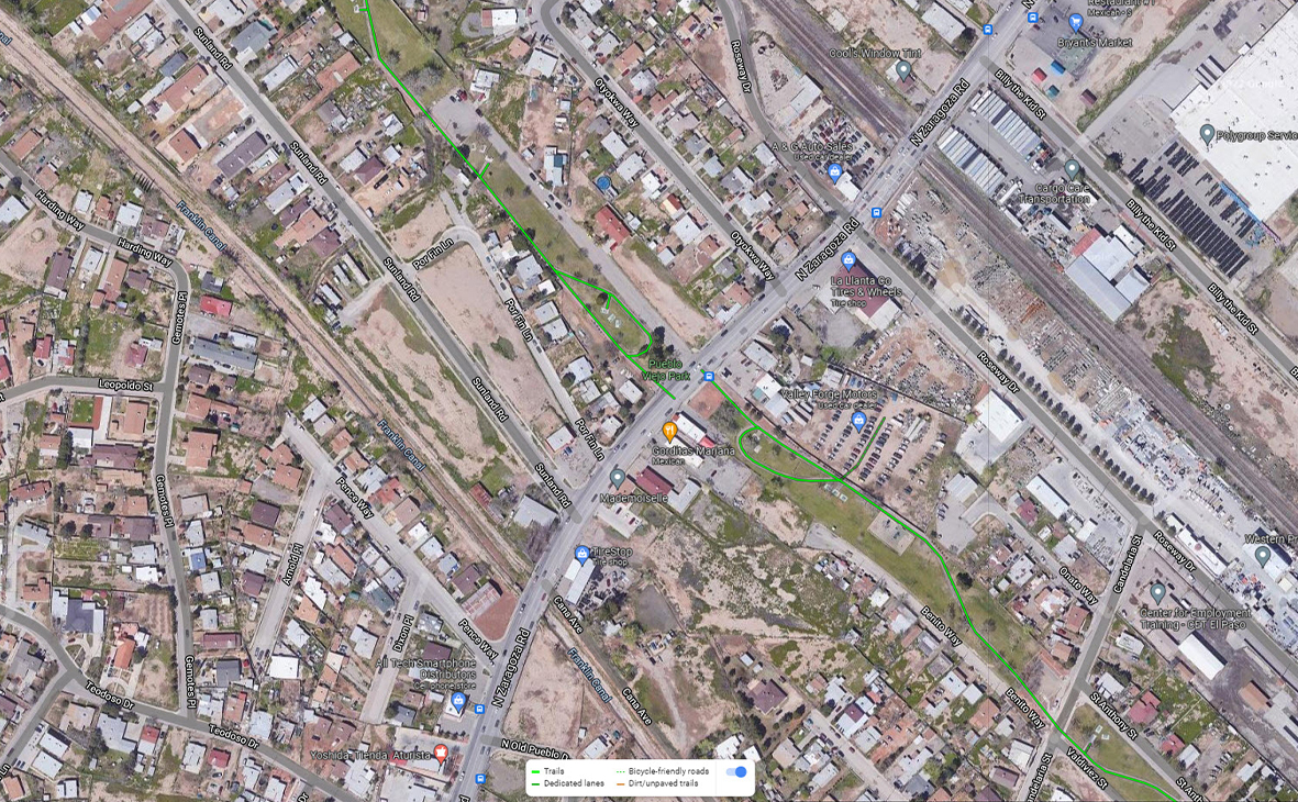
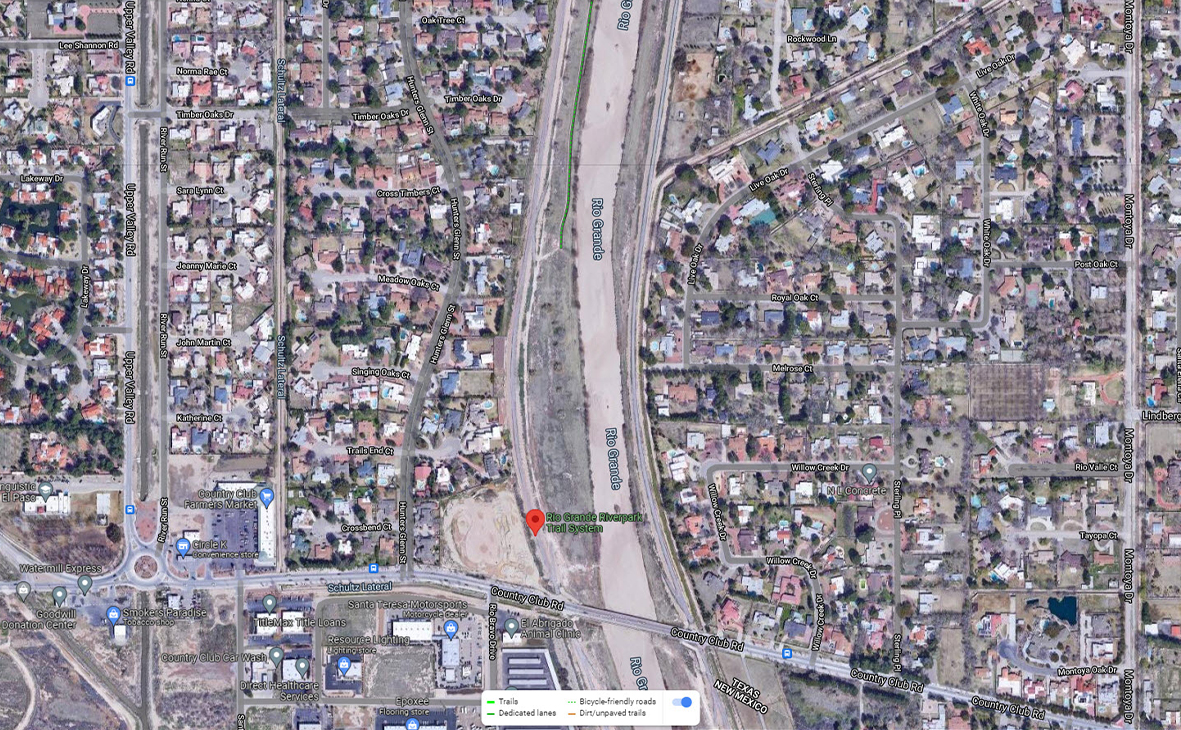
Remember to practice proper trail etiquette:
Learn About Open Space
Jump to:TrailsTrailheads
Plan Ahead: Check the weather and know your route. Be prepared for extreme conditions like heat, cold, wind, dust, rain.
Dress Appropriately: Wear sturdy footwear, weather-appropriate layers, and pack sun protection (sunscreen, hat, sunglasses).
Stay Hydrated: Carry plenty of water. Turn back before half of your supply is used.
Stay Connected: Bring a fully charged cell phone. Hike with others, or share your plans with someone if hiking solo.
Stay on Designated/Defined Trail: Do not wander off a trail.
For Advanced Hikes: Pack water (3 liters), high-energy food, first aid kit, navigation tools, multi-tool, emergency shelter, fire-starting kit, flashlight, and a locator device. Advanced Hiking tips from El Paso Fire Combined Search and Rescue Team (COMSAR).
General Location: Artcraft & Upper Valley
Planning Area: NWMiles: 0.5
General Location: Riverbend Dr. & Little Lane
Planning Area: NWMiles: 0.2
General Location: Airway to HawkinsPlanning Area: EMiles: 1.4
General Location: Lynne Beale at Debbie GoodPlanning Area: NWMiles: 0.8
General Location: 2085 Shreyna St.Planning Area: EMiles: 0.9
General Location: Independence at YarbroughPlanning Area: NWMiles: 1.0
General Location: North Loop at MauerPlanning Area: MVMiles: 0.5
General Location: Mesquite Hills at DyerPlanning Area: NEMiles: 0.9
General Location: Dominic Anakin and Cevallia Ave.Planning Area: EMiles: 1.0
General Location: 900 Via DescansoPlanning Area: NWMiles: 0.7
General Location: 601 Olivas V Aoy Ave.Planning Area: CMiles: 0.4
General Location: 9133 Valdiviez St.Planning Area: MVMiles: 1.5
General Location: Hastings to La LuzPlanning Area: CMiles: 0.5
General Location: Kansas to BrownPlanning Area: CMiles: 0.7
General Location: Country Club to BorderlandPlanning Area: NWMiles: 2.8
(Drive closed to vehicles Sundaymornings for "Scenic Sundays")General Location: Rim to WheelingPlanning Area: CMiles: 1.8
General Location: 7400 High Ridge, within Westside CommunityPlanning Area: NWMiles: 2.0
(Undeveloped)General Location: Rich Beem at Rainbow PointPlanning Area: EMiles: 1.0
General Location: Jon Cunningham and Loma Del Norte
Planning Area: NE
General Location: Officer Andrew Barcena Dr., North End
General Location: Martin Luther King Jr. Blvd, heading North from North Hills
General Location: Robinson at Rim
Planning Area: C
General Location: Stanton, north of Vaquero Ln
Planning Area: NW
General Location: Thunderbird north of Singing Hills
General Location: Redd at Helen of Troy